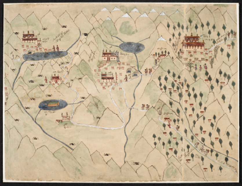
File:This map shows the border area between Tibet and today’s Arunachal Pradesh in Northeastern India and Bhutan. The right part of the map is oriented to the south.png
From Indpaedia
Error creating thumbnail: /var/www/html/ind/bin/ulimit4.sh: line 4: /usr/bin/convert: No such file or directory
Size of this preview: .
Full resolution (835 × 642 pixels, file size: 903 KB, MIME type: image/png)
File history
Click on a date/time to view the file as it appeared at that time.
| Date/Time | Thumbnail | Dimensions | User | Comment | |
|---|---|---|---|---|---|
| current | 15:25, 24 July 2017 | Error creating thumbnail: /var/www/html/ind/bin/ulimit4.sh: line 4: /usr/bin/convert: No such file or directory | 835 × 642 (903 KB) | Parvez Dewan (Pdewan) (Talk | contribs) | |
| 15:23, 24 July 2017 | Error creating thumbnail: /var/www/html/ind/bin/ulimit4.sh: line 4: /usr/bin/convert: No such file or directory | 835 × 642 (903 KB) | Parvez Dewan (Pdewan) (Talk | contribs) |
- Edit this file using an external application (See the setup instructions for more information)
File usage
The following page links to this file: