Salt Range
This is a collection of articles archived for the excellence of their content. Readers will be able to edit existing articles and post new articles directly |
Salt Range
Ruins of the Salt Range
Text and photographs by Tanveerul Islam
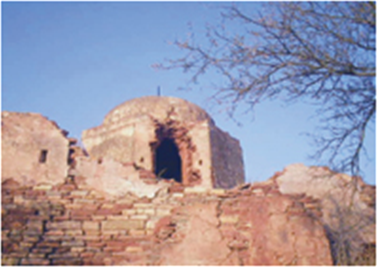
A top the rugged hills of the Salt Range stand temples, shrines and fortresses. In ancient times emperors and princes vied for power and fought fierce battles here. Replete with history, these places are now falling apart due to neglect. Tramps and shepherds venture here using these places as half-way houses. Not many tourists come here but treasure hunters don't miss the opportunity to tear down the crumbling walls and floors in the hope of finding gold and relics.

Few are, however, attracted to the ruins of Nandna, a hilltop overlooking the village Baghanwala in district Jhelum, because of a ghost believed to be present there. There once stood a temple and a fortress built in between the sixth and eleventh century AD. Legend has it that a raja living in the fortress wanted a local girl to become part of his harem before her marriage, but the girl preferred to die and stabbed herself with a dagger and jumped down from the fort. The locals believe that her forlorn spirit still wonders around the hills.
It is also said to be the place where, in the year 1017, Abu Rehan Al Beruni spent some time to determine the circumference of the earth.
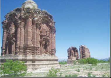
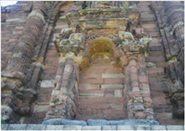
Similar ruins can be found in Malot (district Chakwal) where the Hindu Shahi kings built temples on the premises of a spectacular fortress. The fortress has disappeared and the temples are in a dilapidated state. Babur won a battle here against Daulat Khan Lodhi. Later, Mahan Singh, the father of Ranjeet Singh, also established his stronghold in this place.
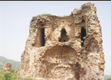
Near Choa Saidan Shah is another fortress overlooking the village Kussak. Built on an oval-shaped hillock, the fortress at present is more of a jungle than a place once guarded by soldiers. The outposts have disappeared and the retaining wall too is falling off. Little is known about the people who built it except that a Janjua chieftain Sultan Fateh Mohammad Khan was the custodian of the place when Ranjeet Singh laid a siege to it. After six months, the chieftain had to surrender when his troops ran short of water. It is dangerous to visit the place, except in winters, because of the poisonous snakes found here. Besides the fortresses and temples, there were once water wells which have now disappeared except for one which exists in village Mera Aiyman, near Kalar Kahar. Placed near the remains of Fort Samarkand, it still serves as a source of drinking water for the residents. The earthen plaque found over the mouth of the pit states that it had been excavated in AD58. Inscribed in Kharwashtri language, the stone is placed in the Lahore museum.
Similarly, a baoli (a deep well with steps leading to the water level) of Sher Shah Suri’s period exists in village Waoola of district Chakwal, and is in the possession of a local influential person. One wonders how a heritage piece can be owned by an individual.
Though forgotten, these ruins can become a source of income for the locals, as well as a living record of our history if preserved properly and used as a tourist attraction.


